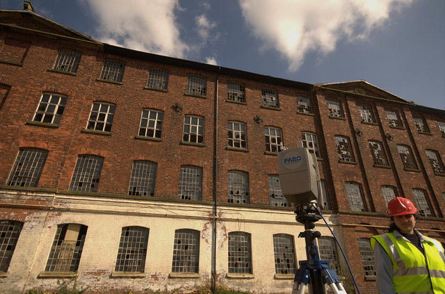
Architecture
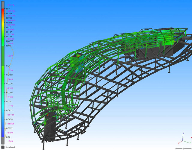
 DJA have worked with many architects since we started offering our 3D Laser scanning survey service in 2006. From recording listed buildings in the north of Scotland to capturing theatres in Leicester Square, we provide accurate as built data for re-design, dimension checking and construction. Working with our CAD systems, we can interface with many BIM solutions and have a proven history of innovative solutions.
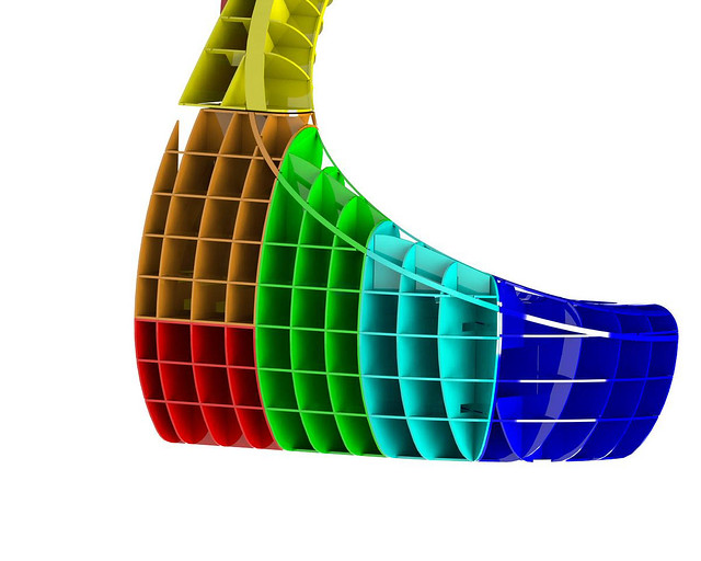
We have also developed our CAD designed assembly systems for construction use. With more architects calling for curved and complex shapes, our 13 years of experience in the boatbuilding industry ensures that we can simplify and modularise construction, tying together design, structure and dimensional control to ensure that the project fits first time.
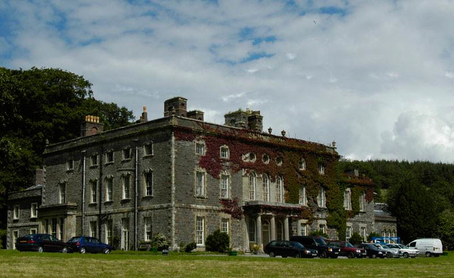 Deri Jones & Associates Ltd and Geospatial Survey Solutions Ltd (DJA/GSS) carried out a laser scanning survey of an early Georgian mansion in Mid Wales on behalf of Architects Lionel Curtis and Rory Wilson (LCRW). Over a period of 16 days, DJA/GSS carried out over 270 scans and some 180 total station surveys, recording over 5500m2 (59,000ft2) of floorspace and grounds in a data set of 3.5 billion full colour points. Combining the range and resolution of the Mensi GS200 with the speed and portability of the Faro LS880, DJA/GSS supplied 2D CAD floorplans and elevations, a 3D space claim model and over 60Gb of processed scan data along with viewing software.
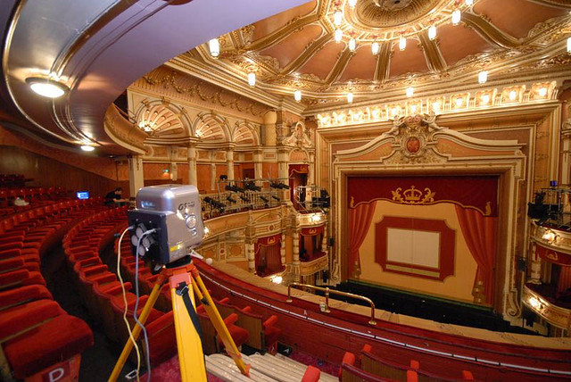 Geospatial Survey Solutions and Deri Jones & Associates (GSS/DJA) were asked to carry out a survey of the auditorium of Kings Theatre in Glasgow, which seats 1,785 people. Three days were needed on site capturing data using both the FARO LS880 and the MENSI GS200, the customer required detailed elevation and plan drawings with details of height variations on the floor of each level of the auditorium, as well as section drawings at various positions.
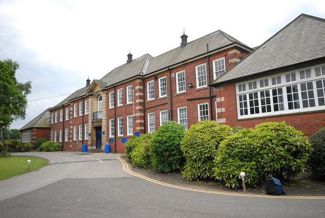 Geospatial Survey Solutions and Deri Jones & Associates (GSS/DJA) were asked to carry out a survey of Holly Lodge High School. The customer required the information urgently, and we were able to provide them with the relevant data within ten days. Three days were needed on site capturing data using both the FARO LS880 and the MENSI GS200. The customer was supplied with elevation drawings, a 3D block model, and the complete point cloud.
Contact Details
- Deri Jones & Associates Ltd
- Llwyngwyn
- Forge
- Machynlleth
- SY20 8RR
- T: +44 (0)1654 214014
- M: +44 (0)777 385 3237
- E:
This email address is being protected from spambots. You need JavaScript enabled to view it.


