The DJA Blog
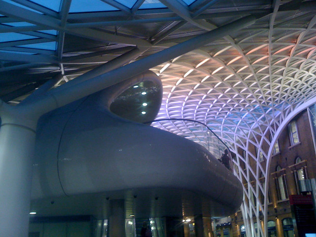
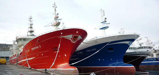 Here you'll find the latest projects and ideas we've been working on - from laser scanning old villages in the south of France to 3D CAD work on assembly kits for trawlers in Shetland, we've always got something interesting on the go.
Over the years we have produced a number of panoramic tours for a variety of clients and projects, mostly as an extra to our laser scanning work. Here are some of the more interesting ones:
Brymbo ironworks: A project we completed in 2019 working with Archaeodomus, recording this important industrial heritage site using the laser scanner.
Cilgerran castle: Another project completed with Archaeodomus, recording this Ceredigion castle back in 2016..
Cwmbyr leadmine: Working with the Welsh mines preservation trust, we recorded this local site as part of a training day in preparation for some other mine work we completed in Ireland.
Cwm Elan: We spent a day working with Aberystwyth University's department of Geography and Earth sciences (DGES) laser scanning and creating a pano tour of the river bed under Pont Hyllfan during a particularly dry period in 2018.
Cwmorthin: We worked with the Cofio Cwmorthin team during our AboutHouses project back in 2010-12 and spent a couple of days laser scan recording the ruined farmhouse at Cwmorthin Uchaf and a short (rain stopped play!) day recording the Tai Llyn while being filmed for S4C.
Cwm Ystwyth: As part of a work experience project in 2014, Rowan and Callum prepared a pano tour of the surface works at Cwm Ystwyth lead mines in Ceredigion on behalf of our friends at the Cambrian Mines trust.
De Corte house, Ovasta, Italy: As part of the AboutHouses project, we laser scanned this heritage building and created a pano tpur back in 2011.
NERC base, Ny Alesund: As part of the training and equipment testing for our collaboration with the Centre for Glaciology at DGES, Aberystwyth University, Jayne scanned and created a pano tour of the UK's Arctic research station in Svalbard.
Moulin entrance, Austre Broggerbreen glacier, Svalbard: Produced from Jayne's laser scan data from within the glacier, this is at the top end of the channel investigated for her PhD with the scanning carried out in 2016.
Channel Portal, Austre Broggerbreen glacier, Svalbard: Produced from Jayne's laser scan data from within the glacier, this is at the bottom end of the channel investigated for her PhD, scanned in 2017.
Perillos, South of France: As part of the AboutHouses project, we laser scanned and created a pano tour of this village as part of their on going restoration project.
Tankardstown: Over the period of a week, we laser scanned and colour pano toured the surface works and accessible underground areas of this Copper Coast geopark mine in County Wexford, Ireland.
At DJA, we're keen at offering work experience to local students who are interested in engineering or 3D CAD modelling. During a a weeks work, we try and give a floavour of what we get up to and give the students a project that interests them. This can be anything from visiting a shipyard to drawing technical instruction manuals or in this case, producing panoramic tours.
Last years students helped us and the team from the Royal Comission on the Ancient and Historic Monuments of Wales (RCAHMW) with the photography for their excellent Addoldai Cymru project, spending a day at Peniel chapel in Tremadog, North Wales.
We then spent a day with Hugh from the Cambrian Mines Trust, creating a panoramic tour of the surface workings of Cwm Ystwyth Lead Mines in Ceredigion, Mid Wales. Callum and Rowan spent the day with the tripod, fisheye lens and pano head recording a series of high resolution images to assemble in to the tour. Back in the office, they researched the site and produced an interactive tour, with pop up images of the site as it was during its heyday, some of the miners that worked there and a satelite image map showing the tour across this facinating site. To see the tour, click on the image below.
Over the past few years, we have developed our panoramic photography skills, from being an add on to allow us to create the full colour laser scan records, using an Nikon D70 digital SLR through to interactive tours viewable on a variety of devices.
We first looked at using panoramic imaging and photo stitching to assist with our 3D visualisation busniess back in 2003. Producing accurately rendered models and photomontages for various windfarm, chicken shed and landscaping projects required a lot of effort - photos taken on slide with a 50mm lens on an Nikon film SLR camera, processed, scanned and then stitched in Paintshop pro to create reference images. With some clever use of accurately modelled lenses in Mental Ray and Maya, we could then generate the correct scale and lighting conditions to give a fair resemblance of the project in question.
When we became involved with 3D laser scanning in 2005/6, we moved to a Nikon D70 and a 10mm fisheye lens, allowing us to record a full spherical panorama in 8 shots and then tie this in to the laser scan data to create accurate and quite ethereal looking animations of existing sites. This recording we did of an old cottage in Mid Wales has become one of our more popular Youtube animations, with over 20,000 views on our old Youtube channel:
 Following the work we had done on recording abandoned lead mines here in Mid Wales for the RCAHMW, we succeeded in bidding for a survey project in Ireland. Tankardstown mine in Bunmahon, Co. Waterford is part of the Copper Coast Geopark. Sited on the seacliffs to the East of the village, the impressive engine house and chimney stack are still in relatively good repair. Underneath the workings, there lies a veritable rabbit warren of tunnels and shafts, extending some 300m under the shaft head and 12.5Km in extent, judging by the late 19th Century mines plan. The majority of the workings are now inaccessible due to flooding and cave-ins, but some 500m of the tunnels can still be entered by experienced mine explorers.
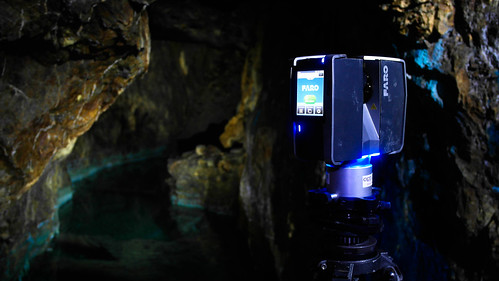
A project of this nature requires some detailed paperwork to ensure access to the site, insurance cover for the kit and people, detailed risk and equipment assessments to ensure we could handle anything the mine could put in our way. GSS/DJA assembled a pretty unique team, Hugh is a very experienced mine explorer, Mikey is an ace photographer and our Irish crew of Sean, Brian and Jim got our kit (and us) down and back out the mine with minimal hassle. Stuart at Opti-Cal sorted us out with a Faro Focus scanner and Leica GS15 tied to the Irish OS network and all of the survey work was tied together using our faithful Leica TPS1203 total station.
Following the NAMHO Conference in Aberystwyth back at the end of June, we started talking with Graham Levins of the Welsh Mines Preservation Trust. 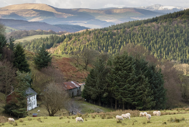 One of the projects that they are working on is excavating and documenting the lead mine workings at Cwmbyr, Aberhosan, Mid Wales. As this is 20 minutes walk from the house, it made a good candidate for some new ideas we had on presenting these remote sites on websites. Following on from the success of the 360 degree panoramas we did in the South of France and at Temple Mine, Cwm Rheidol as part of laser scanning projects with the RCAHMW and AboutHouses project, we carried out a series of panos around the site and then worked with Graham to annotate and add in some of the images from his vast collection to show the extent of excavation work carried out at the site by the trust.
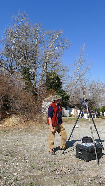 Part of our job with the About Houses project was to carry out laser scanning surveys on a series of houses across Europe. Working with our colleagues and a variety of local teams, we spent a day on each site, recording with the laser scanner and panoramic camera. We managed to record 6 sites in 4 countries - Wales, Italy, Spain and France, recording different types of houses (and even a village in France!) and working with a wide variety of people, from students to Architects, retired Civil engineers to youth workers.
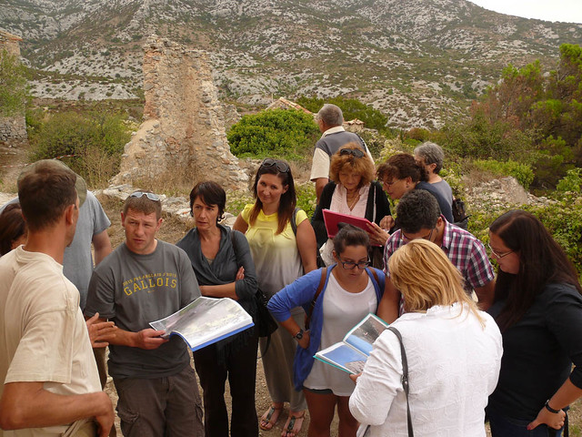 From October 2010 to 2012, we were involved in a project with a number of European partners, looking to teach local groups the importance of recording the heritage of their surroundings and providing a primer in skills required to document and share the story of their old houses online.
With partners from Turkey, Italy, France, Spain, Bulgaria, Lithuania and Wales, we had a very varied team, both in language and skills. DJA's role in the project was to supply advice on how to record the houses and make best use of common digital tools such as camera's, smartphones etc. We also had the task of providing a laser scan record of important houses in some of the countries. All of the documents, guides and house records we assembled were shared on the projects website at AboutHouses.eu, but here are some of the highlights:
Contact Details
- Deri Jones & Associates Ltd
- Llwyngwyn
- Forge
- Machynlleth
- SY20 8RR
- T: +44 (0)1654 214014
- M: +44 (0)777 385 3237
- E:
This email address is being protected from spambots. You need JavaScript enabled to view it.


